That’s my groove… (Video courtesy: Pete Hager)
Category Archives: Blog
Finding a Work/Life Balance
Faribault severe storm as it comes in
A camera on a mast located on top of Jefferson Elementary School in Faribault, Minnesota pointing north captures the high wind event that caused damage throughout Southern Minnesota on September 20, 2018.
These were likely straight-line winds but the National Weather Service is still surveying the aftermath a week later.
A Tornado Just Hit Faribault.
I’m still a damn child, and I guess an asshole.
I have an admission to make. I’m still a damn child. And I guess an asshole.
Bethany and I were at a parade today in LaCrescent, MN, and there was this obnoxious older lady probably in her late 60s that demanded everybody throw her candy. When a float came by with walkers that were giving out string cheese, she demanded two pieces. She demanded a Freez-e from another and got huffy when the walker exclaimed “they’re for the kids only, ma’am.” The final straw was when she stole a Blow-pop from the feet of my girlfriend before she had a chance to pick it up (yes, she was running all around for candy like a damn 7 year old). “Sorrrr-eeee” goes the old lady to Bethany after she picks it up.

That was it. I took a Strawberry Dum-Dum out of our candy collection, unwrapped it, licked that baby and made sure to moisten that thing up as much as I possibly could, and wrapped it back up. Minutes later, there was my queue. A fierce volley of Dum-Dums thrown by yet another float and I knew it was time. Without a moment’s hesitation and while keeping my vision focused directly ahead, I sidearmed my saliva coated Dum-Dum to my right side just as the Dum-Dums from the float were hopping and bouncing their way to the curb. And there it was. Sweet, sweet strawberry victory. Maybe it was just one candy in her very large bounty bag of hundreds of others, but for me, that one piece was the sweetest candy of them all…
…and, as you might imagine, Bethany was still not impressed ![]()
A YFZ450 trying to give chase to two Can Ams at Hurricane Hills MX, Mazeppa, MN
I attempt to keep up to a couple of fast Can Am guys at Hurricane Hills on my YFZ450. Eventually, I’m just along for a joy ride of my own. 🙂
A nice group of quads at Hurricane Hills MX, Mazeppa, MN
A decent quad turn out, and all of us are giving chase. All Can Am except for one YFZ450. That would be me.
High-Resolution LED Display Graphics
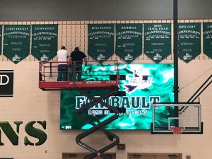
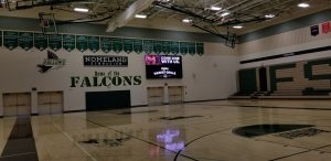
Since the time these high-resolution LED displays were installed in the Nomeland Gymnasium at the High School, I’ve been spending much of my spare time designing graphics, sponsor advertising, and program workflow for the system. It has already been used successfully for several volleyball matches, 9th grade orientation, and now an all-staff District workshop. The variety of technology I get to work with is one reason I love my job and this field!
YFZ450 chasing behind a YFZ450R at Hurricane Hills MX, Mazeppa, MN
A “C” class view of riding the track at Hurricane Hills motocross park in Mazeppa, MN, right behind a guy with a YFZ450R.
A Tour of the National Weather Service Office in Chanhassen
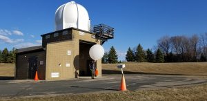
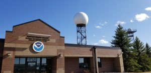
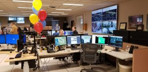
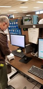
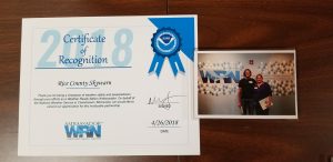
As Rice County Skywarn is a Weather-Ready Nation Ambassador, we got the opportunity to tour the National Weather Service in Chanhassen today! We talked to the meteorologists that forecast our weather and do such a good job updating the public over social media, without sensationalism. At 6 p.m., we watched a weather balloon launch with a radiosonde which measures temperature, humidity, and pressure all the way up to 100,000 feet. The data is used to create the models we use each day to predict the weather. The staff was so accommodating, informative, and polite! Afterwards, we stopped by Lion’s Tap for supper. It was a great afternoon away from the office!
Big Island Retrospective
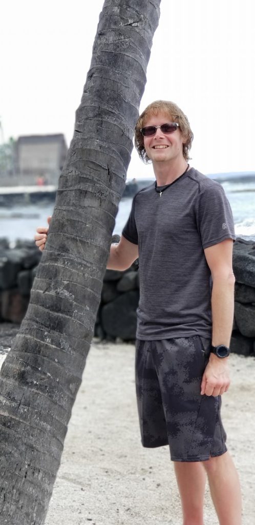
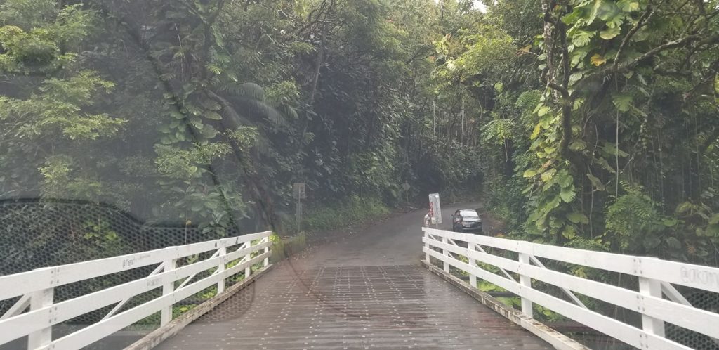
As we take a moment to look back at our relaxing and enjoyable week on Big Island, I am left with several thoughts:
1) Why do I always get a pat down and a groping from the TSA whenever passing through airport security? EVERY time I get scanned, I turn around and see two big red squares on the screen where my balls should be. I know you may think this feeds my ego as the scanner detects steel and other metals, but this really just slows down the line. I wonder if TSA precheck will exempt me from the upper inner thigh check I receive as part of my vacation package.
2) You’re nothing on the islands unless you drive a Toyota Tacoma with a minimum of a 3″ body lift.
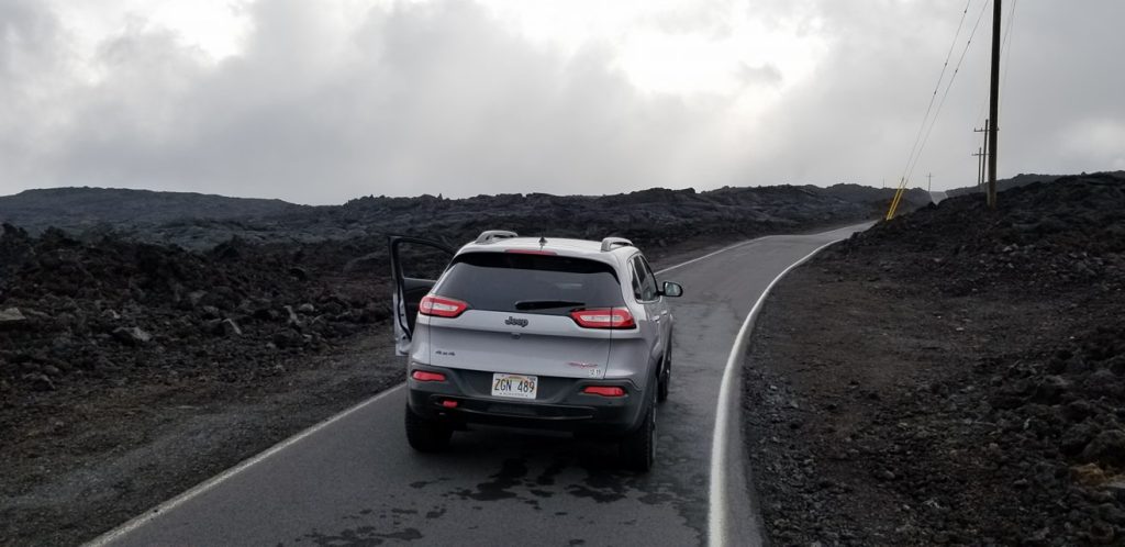
3) The Jeep Cherokee Trailhawk is potentially the worst vehicle I’ve ever driven, and that’s saying a lot coming from a previous owner of a 1978 Plymouth Volare’. When going up a slight incline with cruise control on, it can’t even keep speed. It won’t downshift to a more powerful gear, and you have to floor it to get back up to the cruise speed. I needed 90% throttle to keep 35 MPH speed up an 18% grade going up a mountain. I thought the newer Dodge Dart was the worst rental I’ve ever had, but this thing takes the cake.
4) Mauna Loa last erupted on March 25, 1984, nearly destroying the city of Hilo. 34 years earlier in 1950, it also erupted, destroying the village of Hoʻokena-mauka. Following this pattern of 34 years, it could erupt again on Sunday. I sure hope getting out of the car twice on Mauna Loa to take a whiz behind the car door didn’t anger the volcano Gods too much!
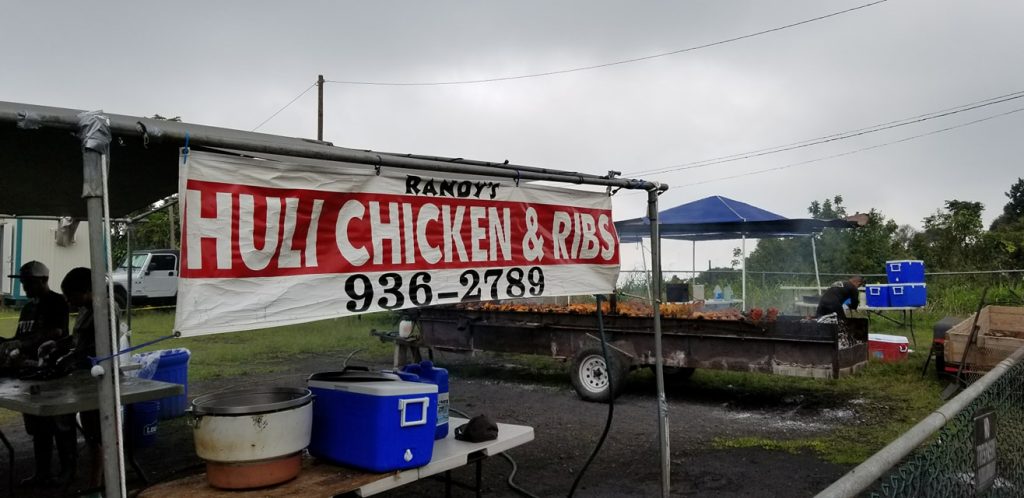
5) The best food is ALWAYS at the rundown looking food stands. Bonus points for having the Department of Health ahead of you in line… because he is hungry.
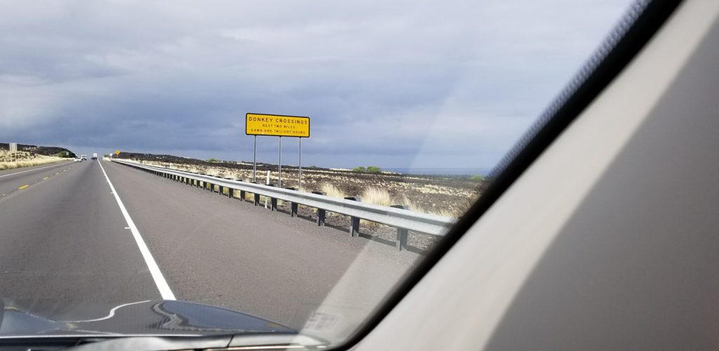
6) You won’t hit a deer on a road in Hawaii, but goats, donkeys, mongoose, and the elderly are all fair game.
Mahalo (thanks) for joining us on our journey! 🤙🤙🤙
Poor Sears
Bitcoin
Like it or not, electric cars are the future.
Anybody in their 30s or 40s now will definitely be living in a world where electric cars, charged by renewable energy such as solar or wind power, will be the majority of vehicles on the road. Major trucking companies have already put orders in for the Tesla Semi based on ROI for delivery in 2019. AND, they release an electric car that does an 8.9 second 1/4 mile with a 600 mile range at highway speeds.Gasoline and diesel engines will go the way of the steam engine in the next 30-40 years.
Digital Video Editor Certification is now Available!
One of the first times Walter Kronkite couldn’t hold back his emotions…
48 years ago today, Man first landed on the moon. Catch Walter Kronkite (veteran CBS anchor) and Wally Schirra (one of the first Mercury 7 astronauts) follow the LEM through powered descent to make a landing.
Then, catch the first step on the moon in this video:

