It’s easy to take for granted modern car navigation systems. After all, the functionality is built into every modern Smartphone. However, back in 1986, before the GPS system even existed, a couple of yachtsman with an idea formed a company called Etak, which made it a goal to make a navigation system with street-level detail that could be installed in an automobile.
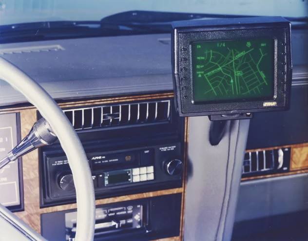
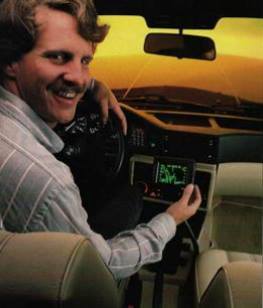
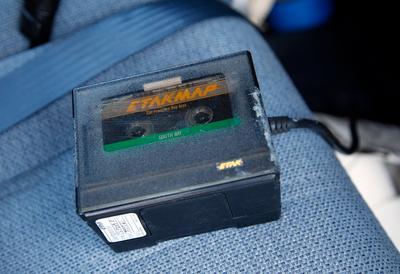
They succeeded. Instead of using satellites, they used “dead reckoning” which compares the car’s location to a fixed spot. A modern (at the time) IBM XT computer running at 4.77 MHz with 128 kilobytes of memory got stuffed in the vehicle’s trunk. An oscilloscope-style green CRT display with buttons was mounted up on the dash, a fluxgate compass was mounted on the back windshield to keep track of magnetic north, and a pair of hall-effect sensors were mounted to the non-driven wheels of the car to count off miles, and the difference in rotational speed between the wheels kept track of corners. Map data was loaded on cassette tapes which each held about 3 1/2 megabytes of information. Users switched tapes whenever they roamed into an area not covered by the current cassette.
The system was about $1,500 and could be installed by a company that did radio and speaker installation in cars. They sold about 5,000 of them. The Etak technology lived on to the modern Internet era, where its map data was used by companies such as MapQuest and TomTom. Etak also created the fixed-map viewpoint (you in the center, the map moves around you) which is still used in all modern navigation systems.
Here’s a video of this incredible system at work: https://youtu.be/CHCCjlSWbHE?t=863 You can also read more about this technology here: https://www.fastcompany.com/…/who-needs-gps-the…